
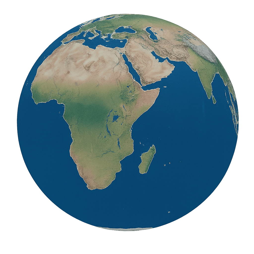
Satellite imagery market to reach $5.36 billion by 2030
The satellite imagery market is projected to grow from $2.4 billion in 2025 to $5.36 billion by 2030, driven by defense demand, better sensors and broader use in monitoring and mapping. North America leads today, while Asia-Pacific is expected to post the fastest growth.
Why it matters: - Satellite imagery is moving from a niche geospatial tool to a core input for defense, infrastructure, agriculture, disaster response and climate monitoring. - The market’s expected expansion signals rising demand for real-time Earth observation data and analytics across public and private sectors. - Growth in this category also points to bigger budgets for space-based systems and more commercial use of satellite data.
What happened: - The Business Research Company said the global satellite imagery market will grow from $2.4 billion in 2025 to $2.82 billion in 2026. - The firm projects the market will reach $5.36 billion by 2030. - The forecast implies a 17.2% CAGR in 2026 and a 17.4% CAGR through 2030. - The report was published July 22, 2026, in London. - The company also released a free sample of the report and the full market report online: Download the sample report and View the full report.
The details: - Satellite imagery uses optical, radar and infrared sensors mounted on satellites to collect Earth observation data. - The data is used to monitor landforms, ocean activity, weather systems, infrastructure and environmental change. - Core applications include defense and surveillance, environmental assessments, agricultural management, disaster response, urban development and natural resource monitoring. - The report cites growing demand for geospatial intelligence, defense surveillance, environmental monitoring, satellite sensor innovation and satellite-based mapping as near-term growth drivers. - Looking ahead, the company points to next-generation Earth observation satellites, real-time monitoring and analytics, smart city projects and climate resilience work as major growth themes. - Government and defense demand remains a major force behind the market. - Military and public agencies use satellite imagery for surveillance, reconnaissance, border control and national security intelligence. - The Congressional Research Service reported in May 2023 that the U.S. Department of Defense requested $26.1 billion for space-based systems in fiscal 2024, up 20% from the prior year. - High-resolution imaging and multi-sensor systems are expanding the market’s technical range. - Combined optical, radar and infrared sensing supports more detailed data collection across different environments.
Between the lines: - Defense spending appears to be helping normalize satellite imagery as a strategic infrastructure layer, not just a mapping product. - The fastest growth in Asia-Pacific suggests that newer space programs and smart city buildouts may be creating fresh demand outside the mature North American market. - The report’s emphasis on analytics and real-time monitoring suggests buyers want more than images; they want decision-ready intelligence.
What's next: - North America held the largest market share in 2025, supported by government investment and advanced technology infrastructure. - Asia-Pacific is expected to be the fastest-growing region over the forecast period. - The report also covers South East Asia, Western and Eastern Europe, South America, the Middle East and Africa. - The Business Research Company said its 2026 reports now include market attractiveness scoring, TAM analysis, company scoring matrix graphics, Excel dashboards, market hotspot infographics and technology and trend analysis. - The company says its broader research platform spans 30,000+ reports across 27 industries and 60+ geographies, supported by 1,500,000 datasets.
The bottom line: - Satellite imagery is forecast to grow quickly because governments and commercial users are demanding sharper, faster and more actionable views of the Earth.
Disclaimer: This article was produced by AGP Wire with the assistance of artificial intelligence based on original source content and has been refined to improve clarity, structure, and readability. This content is provided on an “as is” basis. While care has been taken in its preparation, it may contain inaccuracies or omissions, and readers should consult the original source and independently verify key information where appropriate. This content is for informational purposes only and does not constitute legal, financial, investment, or other professional advice.
Sign up for:
Middle East Agriculture Review
The daily local news briefing you can trust. Every day. Subscribe now.
Check Your Email!
We sent a one-time activation link to: .
Confirm it's you by clicking the email link.
If the email is not in your inbox, check spam or try again.
Welcome back!
is already signed up. Check your inbox for updates.